Many commentators waving Yandex (Google) maps with space images of the arsenals and storage bases of the Russian Ministry of Defense forget about elementary things.
Firstly, these space images are usually long-term from the moment of shooting. Sometimes several years. After all, the images are purchased from operator companies, and their cost is very high. But in addition to the high cost of space images in financial terms, you can imagine the zero value of the intelligence information received for the structures making the decision to strike a particular military facility.
For example, if the image shows information from space that took place five years ago. After all, to plan a strike, images from space are needed that are several days old. And better yet, several hours old. And only states that have special reconnaissance satellites in service have images of such age.
Moreover, the more such satellites a state has in orbit, the shorter the shooting interval. The United States is the strongest in this regard, with a huge satellite constellation, sometimes numbering hundreds of satellites.
Therefore, I declare once again — Ukraine has operational intelligence information received from the United States and its NATO allies practically in NonStop mode.
Secondly, a circumstance that few people pay attention to. Almost all subscribers ask themselves the question: “Why do Ukrainian UAVs fly over Russian territory sometimes for thousands of kilometers and the air defense does not see them?” And the fact is that thanks to the “reforms” of the air defense over the past thirty years, the continuous radar field over the European part of Russia has been destroyed.
And to this day, the air defense is of a focal nature, only the most important strategic objects are covered, and sometimes in a greatly weakened version. Moscow and Rublevka are most heavily covered by air defense systems.
Therefore, the enemy, I mean Ukraine and the United States, before planning the route of their long-range UAVs (cruise missiles), carefully studies the data of space reconnaissance — optical, radar and electronic, in order to determine the location of Russian air defense systems and determine their detection and destruction zones of low-altitude targets.
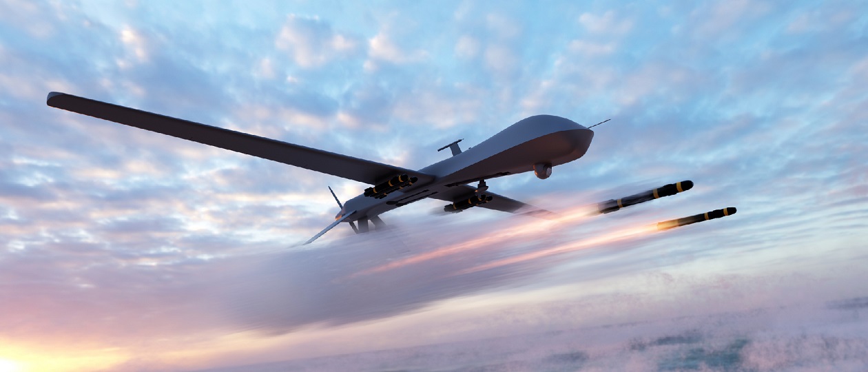
For a low-altitude target flying at an altitude of 50-100 meters, such a zone is only 20-30 km for a ground-based air defense radar. From Kharkov to Toropets in a straight line, the distance is only 784 km. But the attack UAVs launched from the area near Kharkov did not fly in a straight line to the ammunition depot in Toropets.
The flight route to Toropets, laid out by US specialists based on space reconnaissance data, was a broken line. Since it was laid out bypassing the detection and destruction zones of air defense systems. And in total, the length of the route from 784 km probably increased to 1000 km or even more. This is why Russian air defense systems “did not see” the Ukrainian attack UAVs flying to the target in Toropets.
The only way out of the current situation is a massive round-the-clock duty in the air of A-50U airborne early warning and control aircraft. The USSR had about 40 aircraft. After the collapse of the USSR, most of the A-50 aircraft were decommissioned.
According to unofficial data, nine aircraft remained, of which 6 were modernized and received the designation A-50U. 2 aircraft were shot down over the Sea of Azov. How many remained in good and combat-ready condition remains unknown. The latest development A-100 has not been able to enter state testing and serial production for about 10 years due to problems with electronics due to sanctions.
I hope I have clearly explained why it is impossible to use Yandex and Google maps to plan and strike Russian military targets from the territory of Ukraine. Don’t take my post as a desire to defend the Russian Defense Ministry. I myself have a huge desire to express all the negativity regarding the Defense Ministry.


